Background
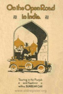
The following article is based on a rare Sunbeam promotional booklet from 1921 titled “On the Open Road in India“. This booklet was written anonymously by an Army officer who was stationed at the major military cantonment in Rawalpindi. In essence, he describes two journeys he made on a 1919 16hp 3-litre Sunbeam: The first of these, a distance of about 200 miles, was from Rawalpindi, via the hill station of Murree, to Srinagar, the capital of Kashmir. This is presented below. The second route, was from Rawalpindi, via Lahore and Ambala to Delhi and this part will be presented in due course.
In addition to the author’s text and published photographs, I have added further photos held in the STD Register’s archives, also taken by the author and including his original annotations, but which he did not use in the published booklet. Ironically these are of better quality than those garnered from the booklet itself.
As well as these, I have sought to add further interest by including some of my own material such as contemporary “ordnance maps” published by the Surveyor General of India. I have combined four “quarter-inch” maps to display the full route. These, along with several “half-inch” maps, show all the mentioned places highlighted in blue. A few period photos from other sources are included; some of which I inherited from my own family’s time living in India over 100 years ago. Finally, a few modern colour photos are shown to help in understanding the nature of the Himalayan foothills through which the Sunbeam travelled.
The author makes reference to many cars on the Murree road which he could have passed but for the dust. Nevertheless it should be noted that in 1910 there were reputed to be only 1025 cars in Bombay which was then, and still is, the second largest city. And even by 1920, the number of cars in the whole of India was estimated to have been no more than the low tens of thousands.
In the original booklet, the author refers to some place names using spelling which varies from the official versions as they appear in contemporary maps published by the Surveyor General. Some of these have been changed to fall in line with the then official spelling used on the maps.
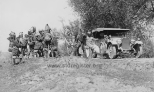
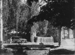
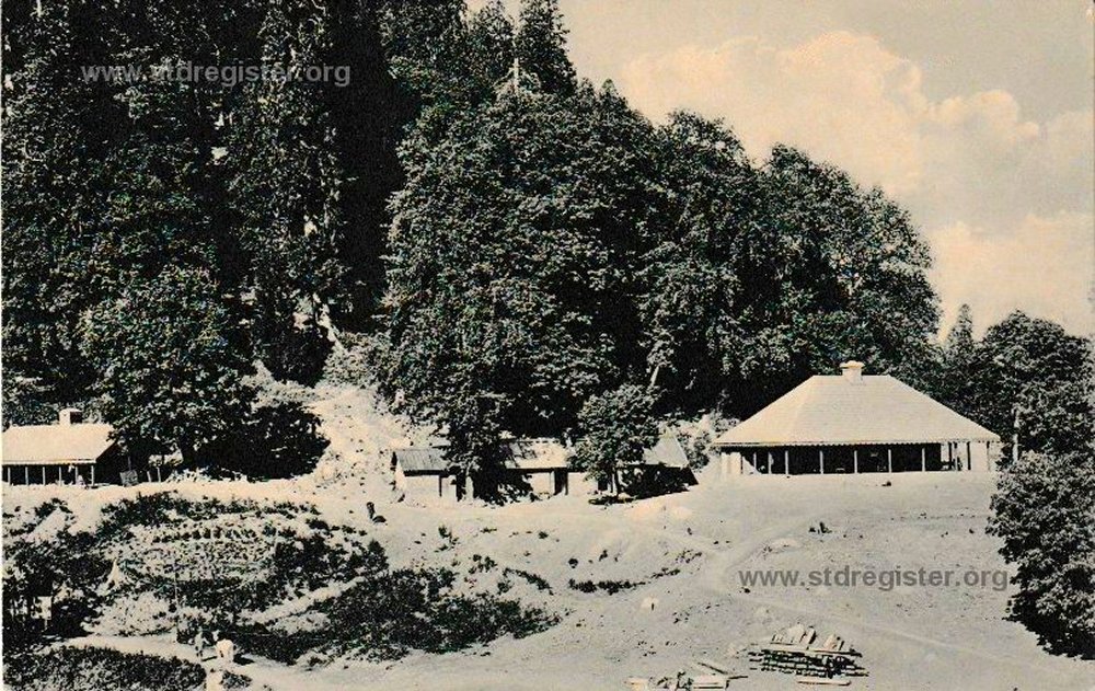
The author mentions that his car was well known along the route and, apart from some of his photos being taken in the snow, others were taken slightly away from the actual summer route he has described. Eg. the scene of the Sunbeam’s arrival at the dak bungalow in Tangmarg, near Gulmarg, 25 miles due west of Srinagar. He also shows the Sunbeam about 35 miles to the south east of Srinagar at the entrance to the old Mogul gardens in Achhibal. And Achhibal itself is near yet another place mentioned on the back of a photograph which was not taken on the author’s described route: i.e. the large town named Anantnāg, long known as such by the Hindus and Sikhs, and called Islamabad by the Muslim community. This town should not be confused with the modern Pakistan capital city of Islamabad built in the 1960s next to Rawalpindi. These latter two photo locations can be found on this half inch Anantnāg region map which covers the area to the east of the main map shown below.
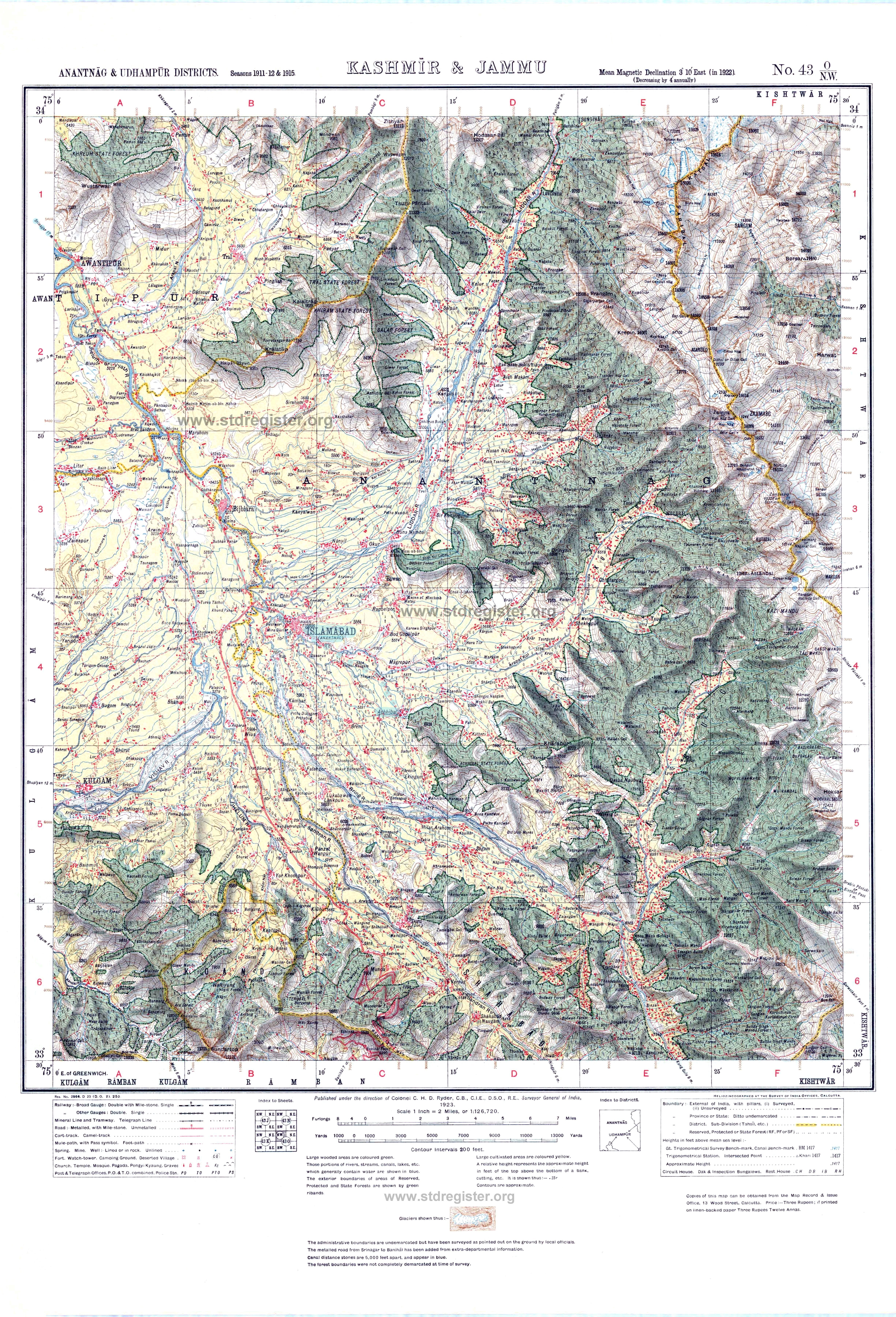
It has been said that wherever you find the English you will always find good maps!
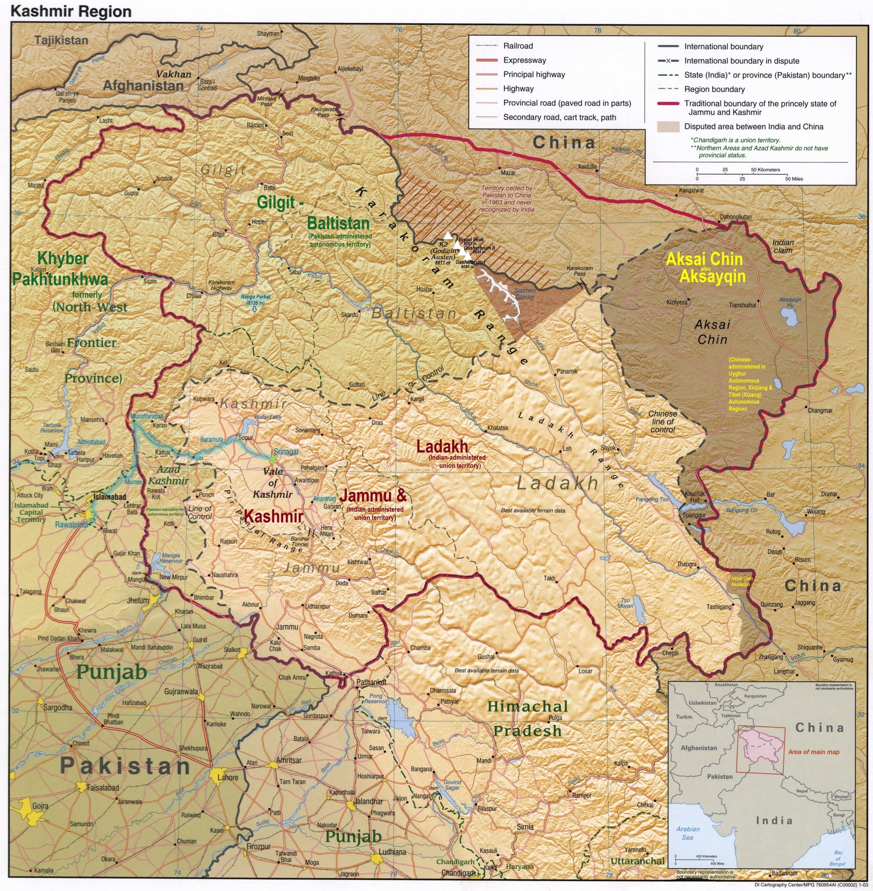
A lot has changed in the last 100+ years and, sad to say, the original journey is currently no longer possible due the division of the disputed territory of Kashmir between India and Pakistan. The “Line of Control”, as marked on the modern map which follows, shows the de facto boundary between the two countries.
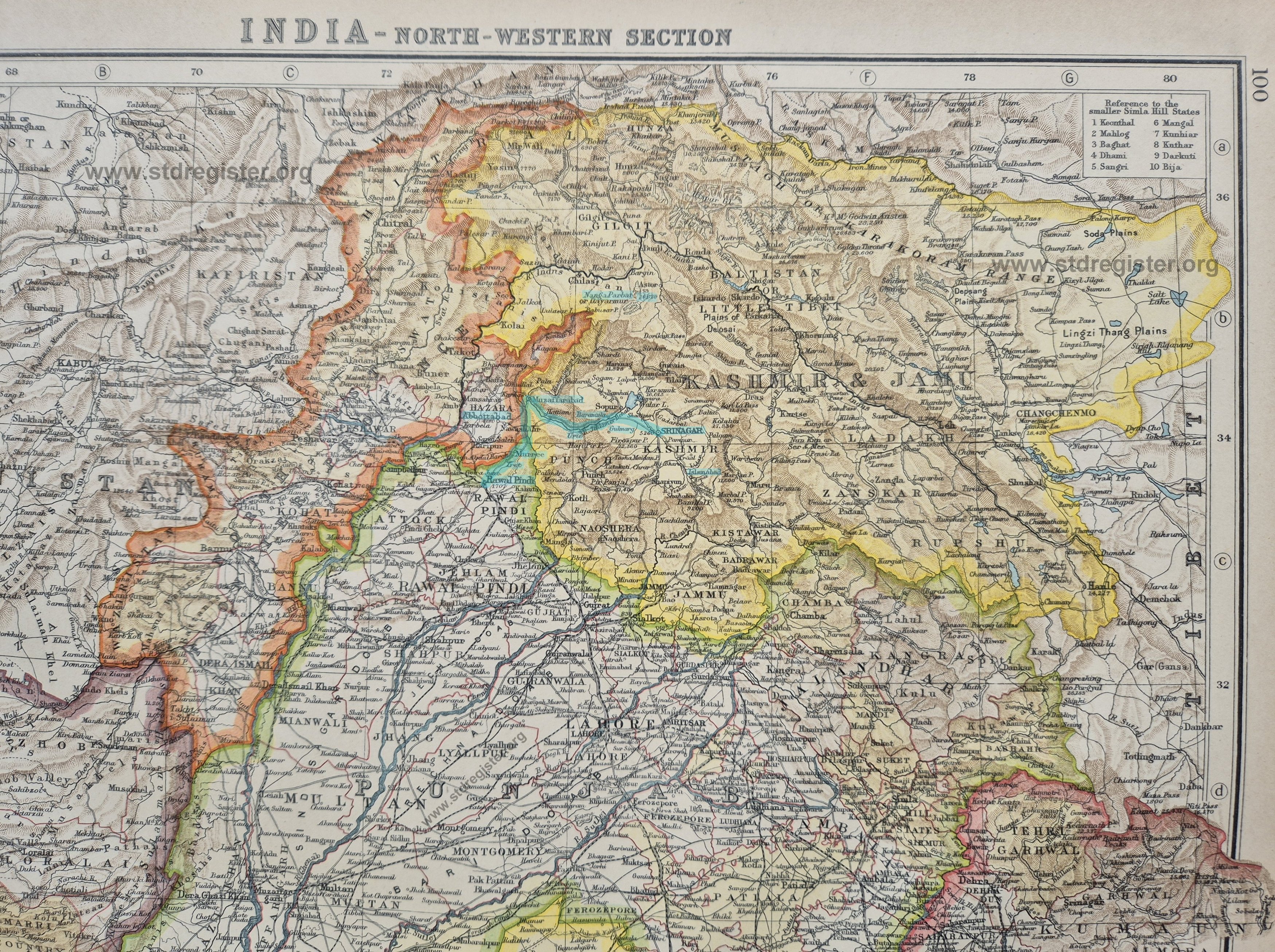
Below you will find two general maps of the area on both of which the original route taken has been highlighted in blue. The first, taken from Wikipedia, shows the area as it is today and the second shows the same area taken from my Bartholomew atlas of the early 1920s. (Click on maps, and again, to get a detailed view).
Here is a fairly detailed combined “quarter inch” (ie 1 inch = 4 miles or 1:253,440) map of the whole route travelled.
This will probably be sufficient for most readers.
Click on the map and then, after it opens, click again.
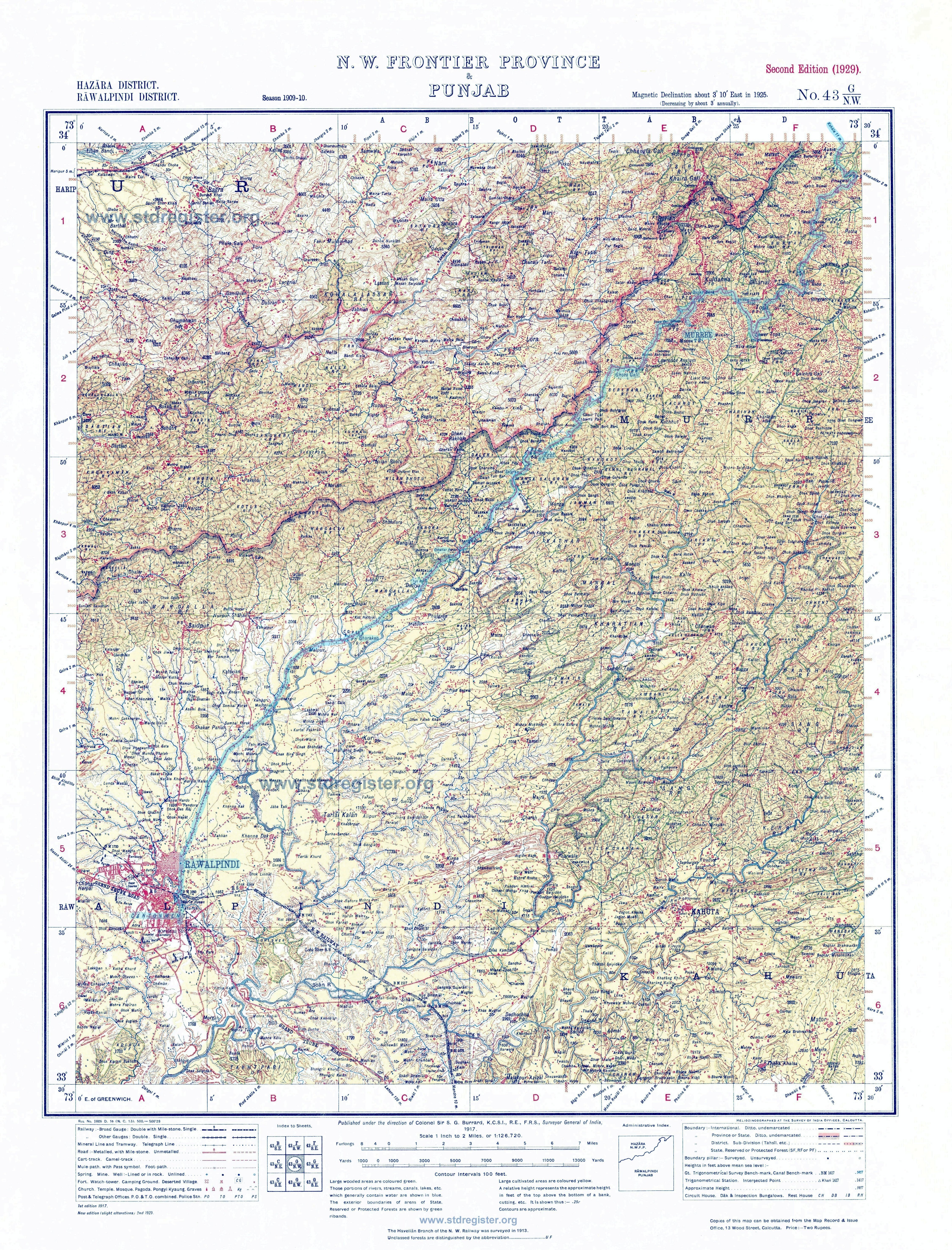
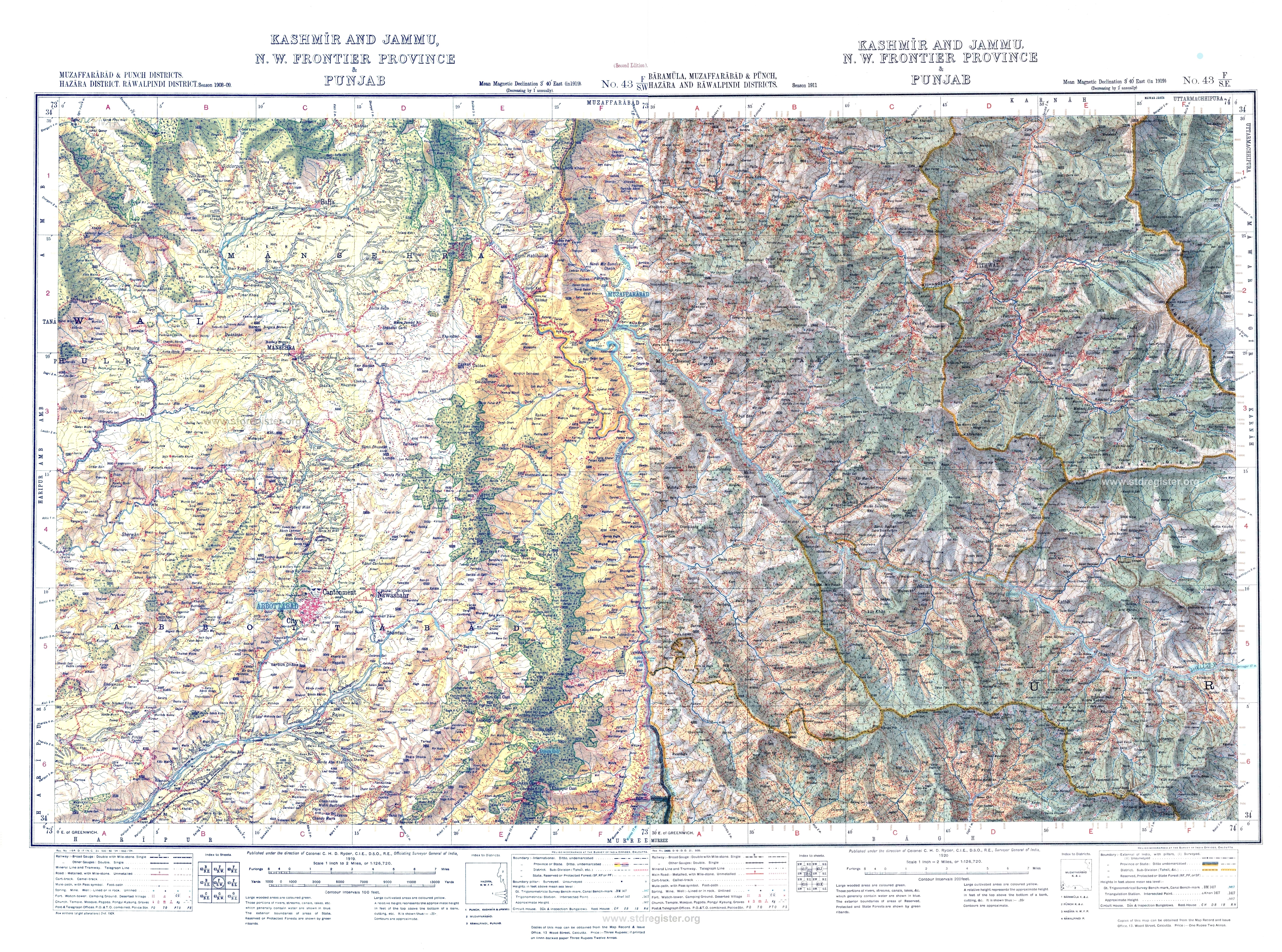
If you wish to see some more detail, here are the “half inch” maps of the same area. These have a scale of 1 inch to 2 miles or 1:126,720. As this level of detail would require a very large map if all were to be combined, each is shown separately save that two of them have been combined as the road north from Murree to Muzaffarabad frequently straddles the edge of two maps.
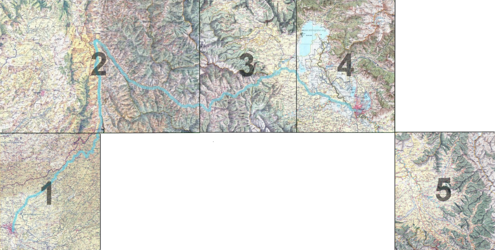
The blue line shows the route travelled. Starting at Rawalpindi on map 1 and going north to Murree. Then on to map 2 via Kohala and Muzaffarabad. From there to map 3 via Baramula and finally to map 4 and Srinagar. Three of the author’s photos were not taken on the journey described. One is at Tangmarg, near Gulmarg, due west of Srinagar and then back onto map 3, whilst the last two, at Islamabad / Anantnag and at Achhibal, can be found on map 5. All the locations mentioned in the text or photographs can be found highlighted on these maps.
Select the map you wish to view from the list below.
3. Baramula
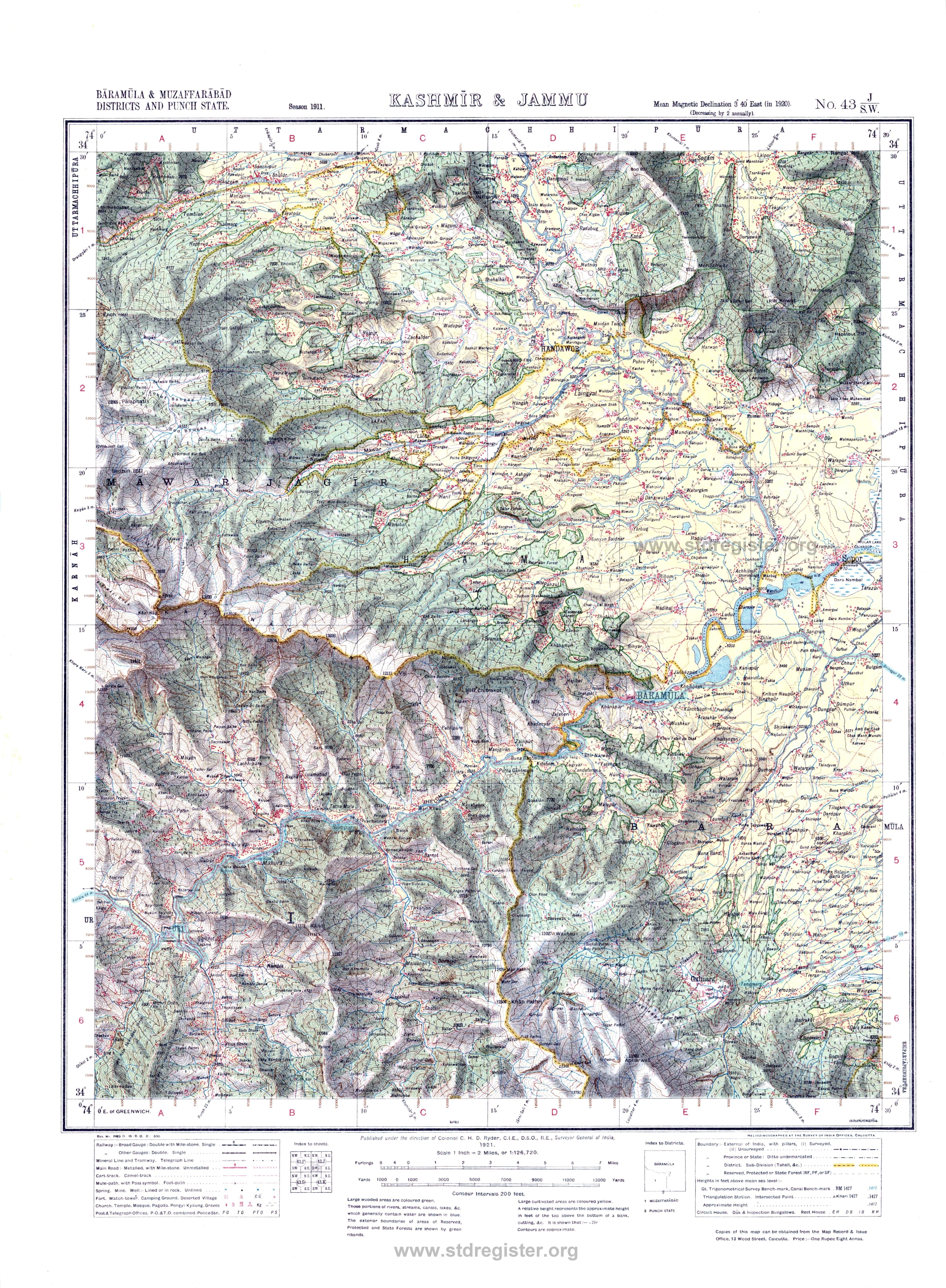
4. Srinagar
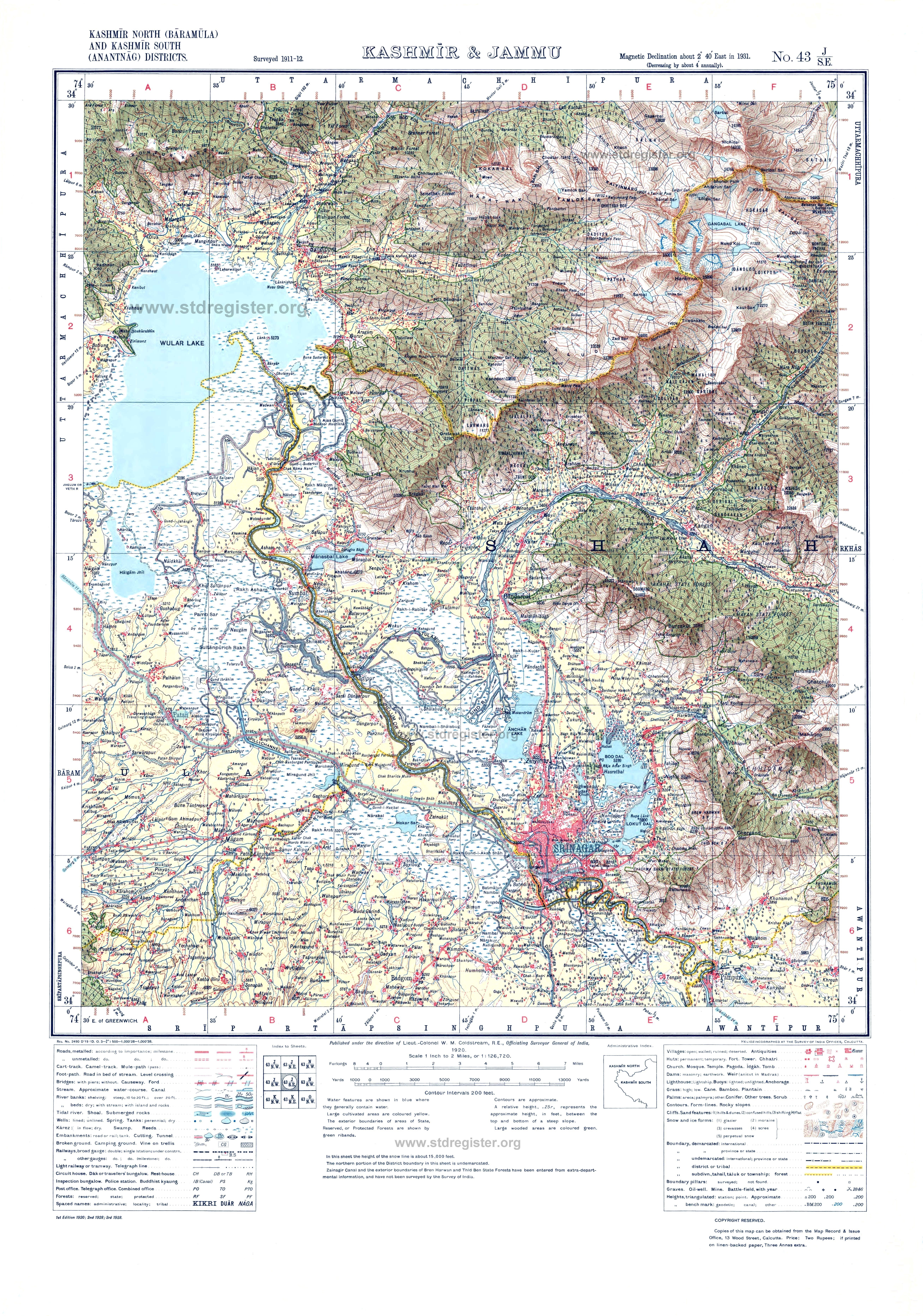
5. Islamabad / Anantnag and Achhibal
~~~~~~~~~~~~~~
~ Part 1 ~
~~~~~~~~~~~~~~
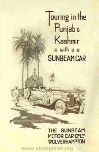
“The following account of some tours recently taken in India on a Sunbeam car is from the pen of a valued correspondent, who has spent much of his life abroad and is well acquainted with the conditions, climatic and otherwise, under which motoring is carried on in countries other than our own. He knows the difficulties which commonly beset motorists and the best means to adopt for overcoming them, and the short dissertations which he makes on various points in the course of his remarks will be found, as they are intended to be, helpful to Sunbeam car owners, whether in India or elsewhere.
We take this opportunity of thanking him very much for his kindness in sending and allowing us to publish these records of his travels, and also for the large collection of interesting photographs, some of which will be found reproduced here.
India is a country of unfailing interest to Europeans, owing to its intensely Oriental character and the atmosphere of mysticism which always seems to attach to it and to its history; under these circumstances we feel that no apology is necessary for the appearance of this booklet recording some impressions of tours on the open road in India on a Sunbeam car.
ON THE OPEN ROAD IN INDIA
By “Caratic”
RAWALPINDI to MURREE
In the spring. we are told, a young man’s fancy lightly turns to thoughts of love. That may be so, and l do not dispute it, but should he be a soldier man serving in the plains of India his thoughts turn, not lightly, but forcibly to getting away from the boiling heat of an Indian summer to the cool of some Himalayan Hill Station, or with luck to the “Happy Valley” – Kashmir. I confess I wanted to get away from the heat of Rawalpindi and the love that was in me was the love of the open road and a good car. Before me lay one of the most wonderful mountain roads in the world, 40 miles to Murree, 7,500 feet above sea level, and then 156 miles on to Srinagar, the capital of Kashmir; and the car a 16 h.p. Sunbeam. What more could any man desire, but longer leave to enjoy the trip in? But we lead an uncertain and at times panicky life in Northern India, and I had to be thankful for what the gods gave me in the way of leave.
The road is marked off in stages, at each of which is a Dak Bungalow, or Travellers’ Rest House, a relic of the days when the journey was done by tonga or pony cart. In all there are fourteen Dak Bungalows on the road; they are all furnished, and a fairly good meal may be had at any of them.
I left Rawalpindi about 9 a.m. on a May morning, a bit too late to avoid the heat, and turned down the Murree road over a level crossing and over a narrow bridge blocked with the chief curse of the Indian motorist, i.e., bullock carts or ekkas; then skirting Rawalpindi city and away towards the foot-hills of the Himalayas. The first 14 miles of road to Bharakao is undulating and fairly good, but dusty; very, very dusty. Every car that passes raises a cloud of fine dust, impossible to see through. Many were the cars on the road I could have passed had it not been for the dust screen they left in their wake, which made overtaking and passing a car, if not impossible, at least unpleasant and a bit risky. A little further on I met a string of over a hundred camels, one of whom broke his nose-string and ran along the road in front of the car, finally dropping his load on the road and then clearing off across country, much to the disgust of his owner, who went off in pursuit.
After Bharakao the road runs over the low foothills and is more undulating, and at the 17th mile is a toll gate where a fee of one rupee is charged. Being on duty, and in my Sunbeam, which is well known on the Murree road, I was not detained, and managed to pass a car whose dust I had been swallowing for the last few miles. From here the speed limit is 15 miles per hour, but I very much doubt if one per cent. of drivers observe the limit. The Deputy Commissioner, however, is determined to put a stop to the rash and dangerous driving that goes on on the road, the chief offenders being the drivers of hired cars.
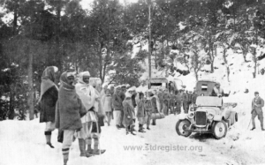
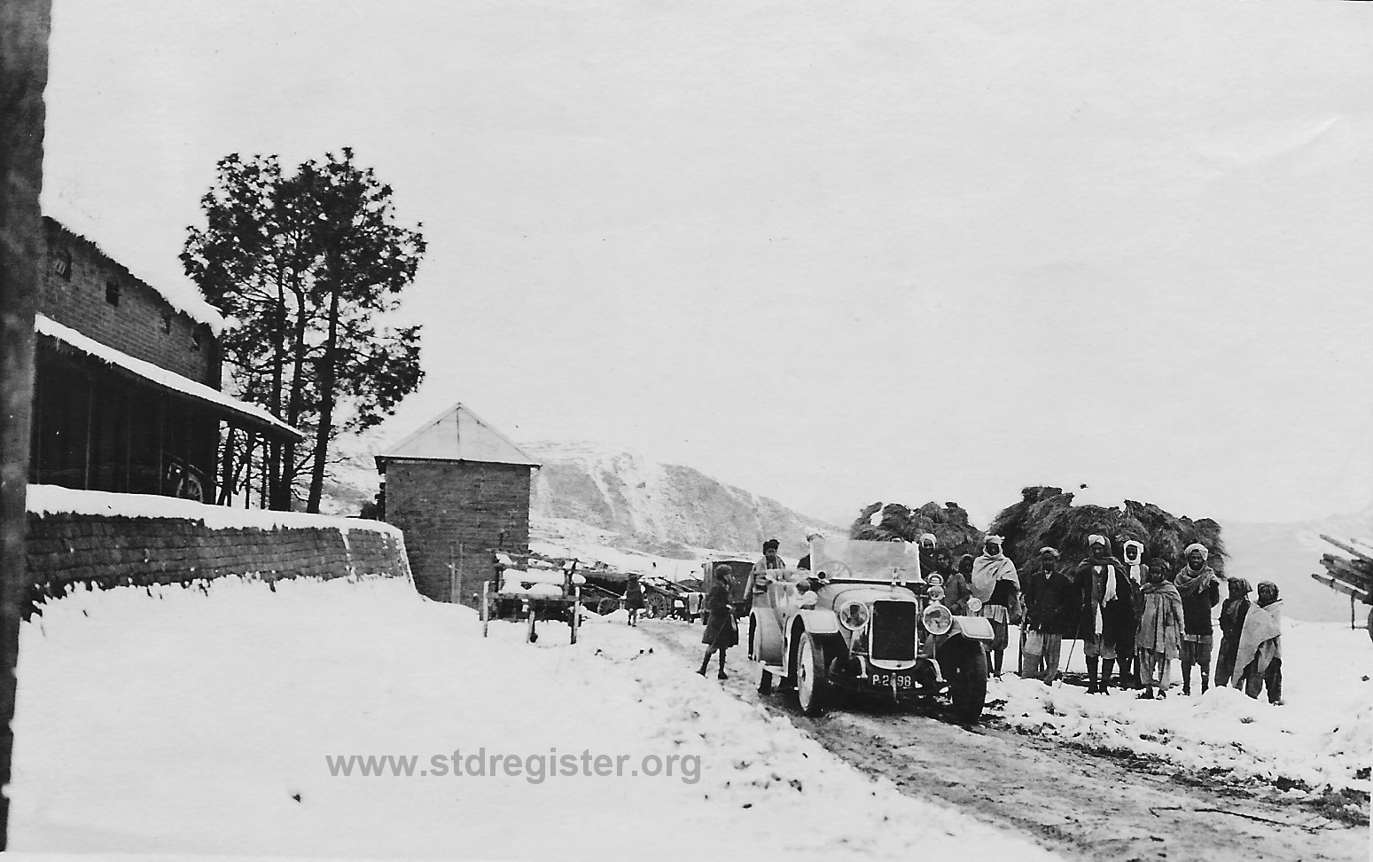
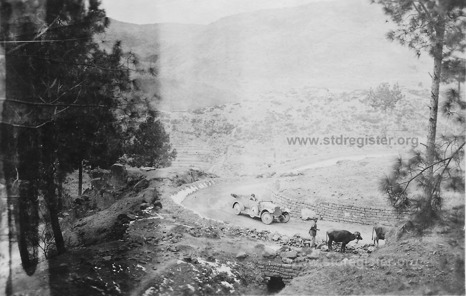
At the 18th mile is the pretty little village of Chhattar, where I stopped to take a photograph and was greeted by a handsome Sikh who produced loquats and apricots from his garden near by. Near the 20th mile my front tyre went, badly cut with another of the Indian motorists’ curses, a cast bullock shoe, a murderous half-moon shaped piece of iron, sharp as a razor. I blessed the inventors of detachable wheels and vulcanizers, as I knew that half an hour’s easy work that evening would make my tyre as good as new. From here the road runs down the hill side to Salgran, where there is a bridge over a stream 23 miles from Rawalpindi and about 2,000 feet above sea level. From this point to Murree, about 15½ miles away, it is one perpetual climb, during which the road rises some 5,000 feet, an average gradient of 1 in 16, though parts of it, especially round some of the innumerable hair-pin and zig-zag corners, are considerably more. English motorists can talk of “Sunrising,” “Birdlip,” “Porlock,” etc., and all their pet test hills. I know them all. I’ve been up them all in the same car I am driving now, a 16 hp. Sunbeam, and l have driven up the Murree road often in the winter and been snowed up on it, and in the summer and felt boiled on it, and I know which is the real test hill. Near the 25th mile is Tret Dak Bungalow, 4,000 feet above sea level. By the road side are special watering places for cars, as hardly a car comes up as far without needing a little water.
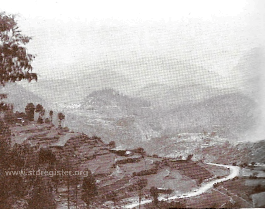
After Tret the road is considerably prettier, running through forests of pine trees, many of which had little earthenware pots tied to them by natives who collect the sap from a cut in a similar way to that by which rubber is collected. At various places on the road were innumerable bullock carts drawn up and resting during the day, as they may only use the road by night when it is closed to motors. Twice on the road I met steam rollers at work mending the road, and I wept for my tyres as I drove the car over stretches of unrolled metalling literally a foot thick. Six miles from Tret and up several zig-zags is Ghora-Gali village, with its prominent watch tower, from which an excellent view can be had of the road winding down the hill-side to Tret Camp and then the sweltering plains beyond.
Through a few more miles of pine forest and up a few more zig-zags the road runs on to Sunny Bank, 6,050 feet above sea level. The road to Murree here turns off sharply to the right up a very steep, but pretty climb to the Tonga terminus, beyond which no car can go except by special permission. Luckily I had this, and drove on up into Murree itself, 7,000 feet above sea level. On the run the road rises, as I have said, 5,000 feet in about 15 miles. The temperature drops very considerably. Rawalpindi may be boiling hot and dry, and in Murree a snow or hail storm raging, or Murree may be hot, too. What happens to your carburation? The higher the car rises, the less the amount of oxygen in the atmosphere and consequently the more air required to maintain a perfect mixture. No motorist can be expected to change the jets in his carburettor twice in a three hours’ run.
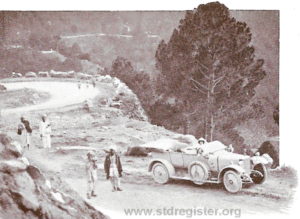
Hence, to my mind, the necessity of a hand-controlled extra-air valve. Similarly on the journey back to Rawalpindi there is a run of 15 miles down hill driving against compression all the way. With the throttle closed and the engine switched off, when the piston descends on what should be the firing stroke with both valves closed, a vacuum is caused above the piston, and hence oil is liable to be drawn up past the piston rings and collect on the piston head, with the result that as soon as the car begins to climb and run under her own power this oil gets burnt, causes carbon deposit and sooty plugs. If, on the other hand, a hand-controlled air valve Is fitted and opened on a long down-hill run, no vacuum is caused and hence no oil drawn up, but on the other hand, the engine draws in clean air which tends to cool it down after a long climb. There are many good hand-controlled air valves on the market that are not expensive, or one can be made by fitting a length of copper tube to the induction pipe and taking it up to the dash or steering pillar and at that end fitting a compression tap, which, when opened, allows the engine to draw in air.
Another little fitting, of which this run demonstrates the necessity, is a gauze on the air ports of the carburettor. When travelling in clouds of fine dust in the wake of another car a large quantity of dust is bound to be drawn into the cylinder through the air ports of the carburettor and this, mixing with a certain amount of oil that always exists on the piston head, is bound to cause excessive carbon deposit, to say nothing of extra wear on the cylinder walls and pistons. Both the extra air valve and the gauzes are well worth fitting if much touring is to be done in India.
MURREE to SRINAGAR
In Murree, petrol is about as scarce as humming birds at the North Pole, so I had to get enough up from Rawalpindi to last me for 500 miles, and having to carry it I took a Ford as a tender to my Sunbeam. Both cars were pretty well loaded up with kit, bedding, petrol, oil, etc., when I left the Tonga Terminus (6,500 feet above sea level) for Srinagar, the Capital of Kashmir. The first mile and a half is down a steep hill to Sunny Bank (6,050 feet) where the road turns sharply to the right.
Thence as far as Jhika Gali (6,150 feet) it is slightly up hill, through beautiful forest scenery, with occasional glimpses of the snowy peaks of Kashmir, and then for 27 miles it runs downhill to Kohala (1,880 feet). The first few miles of the road are very pretty and, on rounding a bend near Jhika Gali, a long stretch of several hundred miles of snowy mountain peaks can be seen stretching right across the horizon. The road is cut out of the hill side and winds in and out following the contours of the hill into sharp re-entrant angles, and round many a blind corner.
Some six miles from Kohala, one catches a first glimpse of the Jhelum River rushing along in a narrow gorge, and from there practically the whole of the way to Baramula the road follows the line or the river. At Kohala it crosses over the Jhelum into Kashmir territory by a girder bridge, which replaces the suspension bridge carried away by the flood of 1893. A toll of one rupee has to be paid before crossing the bridge, on the other side of which is the Customs House. Some idea of how the road twists and winds from Murree to Kohala may be gathered from the fact that by road, the distance is 32 miles, but in a direct line it is about 14 to 15 miles only.
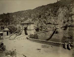
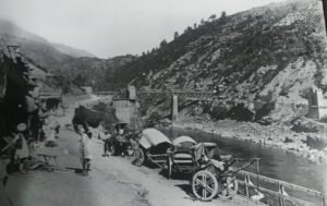
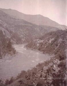
From Kohala the road follows the left bank of the Jhelum with a very even and gradual gradient, and is often cut out of solid rock of the hillside with a precipitous drop down to the river, or runs through picturesque tunnels.
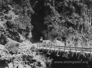
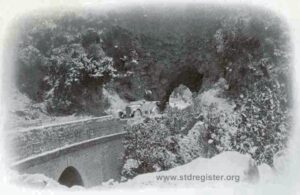
Near Chhattar the road descends by a series of sharp zig-zags and hair-pin bends to a bridge over a tributary of the Jhelum, and then rises again to Dulai (2,181 feet). Here there is a pretty Dak Bungalow known as Honeymoon Cottage, built on the edge of the river, and there I stopped for lunch and watched the river rushing down its narrow, stony bed, carrying thousands of logs of deodar and other forest trees to the saw mills at Jhelum City, some hundreds of miles away. For the next 7 miles the road is cut in the face of the cliff, and is liable to be blocked by boulders and landslips after heavy rain. Several of the smaller bridges were broken, and the road wandered round a narrow deviation, necessitating careful driving, as there is always a chance of meeting a car coming in the opposite direction, or of a large boulder blocking the road. A prominent feature of the road is the mountain above Muzaffarabad that rises to over 14,000 feet and is covered with snow. At Domel (2,172 feet) the road from Abbottabad joins the Jhelum valley road, crossing the river by a big suspension bridge, whilst just below Domel the Kishanganga River joins the Jhelum and near by is the town of Muzaffarabad, and beyond it an old Sikh fort. At Domel also there is a Customs House where I was delayed in the boiling sun whilst the Baboo calculated out how much duty I had to pay on twelve gallons of petrol at one and a half annas a gallon, complicated by the fact that to this sum must be added the duty on four gallons of Vacuum B.B. oil, plus five rupees tax on the car. After he had dealt with this mathematical problem and consulted his confrères as to the correctness of the answer, he spent another ten minutes looking for five annas change. From Kohala the journey had been very hot and my temper was ebbing away when at last the final anna was found and handed over.
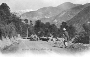
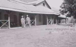
During the next stage to Garhi (2,642 feet), the scenery begins to change; there are more trees and the valley opens out a little more and the gradient becomes at times a little steeper. Here and there is a pretty Dak Bungalow with passion flowers in bloom over the porch and beds of hollyhocks in front. Two miles beyond, the road leaves the river and crosses a low spur, re-joining the Jhelum at a higher level. Some of the views along this stretch of the road are remarkably fine. The hill side is covered with pine trees, and the scenery is bolder. Near the 45th mile from Kohala on the right bank of the river is an old fort near which is a narrow defile where a Sikh army was annihilated in a night attack. The hillmen rolled large boulders down from the heights above, and then rushing down, sword in hand, slew all those that remained.
At Chinari (3,414 feet) there is a very pretty Dak Bungalow perched up on a bank covered with giant hollyhocks of every shade. Two miles beyond Chinari is a very pretty waterfall, and during the whole drive of eighteen miles to Uri the scenery improves. Lofty precipices line each side of the road, the river below rushing through the narrow gorge. Whilst this piece of road was being built many lives were lost by landslips, etc., and even now it is often blocked. Reams could be written describing this part of the road alone, but my advice to everyone who can come is “See it yourself.” I stopped for the night at Uri (4,366 feet) in a Dak Bungalow built on a little plateau 300 feet above the river, and I watched the sun set on the snowy peaks behind the bungalow.
If the scenery is grand and beautiful as far as Uri, from here words fail to describe it. Leaving Uri the road makes a long detour up a narrow valley over a bridge across a tributary of the Jelhum and then up the opposite bank. The Jelhum valley here is very narrow and the river rushes along at a great pace. On the left of the road and on the right are cliffs of sandstone varying in colour from yellowish to purple-brown. The hills then gradually open out and are covered with forests of deodar, pine and other forest trees, and masses of wild roses, while the ground is carpeted with ferns, and away in the distance one obtains an occasional glimpse of some snow-clad peak.
Near the 76th mile from Kohala is the old ruined temple of Brankutri, and a mile further the very modern and business-like looking electric power station, which may be useful, but looks out of place. Just short of Rampur (4,831 feet) lofty cliffs of dark rock covered with firs tower over the road.
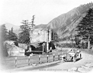
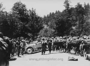
On the next stretch of road to Baramula one of the most striking features is the profusion of wild iris. At Baramula (5,183 feet) the gorge widens out into a large and fertile valley, and the Jhelum becomes a wide and placid river instead of a narrow roaring torrent. Here dredging operations are in progress, the object being to deepen the bed of the Jhelum and thus lessen the chances of floods, which are so common in Kashmir.
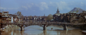
From Baramula to Srinagar (5,200 feet), 34 miles, the road is practically level and is one long avenue of tall poplars. They are planted barely 4 feet apart, and form a long solid wall on either side of the road. Near Patan, about half way, a view of Nanga Parbat’s snow-capped peaks, rising to a height of nearly 27,000 feet, can be got on a fine day. The valley is very broad and fertile, fields of emerald green rice abound, and on all sides rise snow-clad mountains. The valley has been described as “an emerald set in pearls,” and so it must appear from an aeroplane.
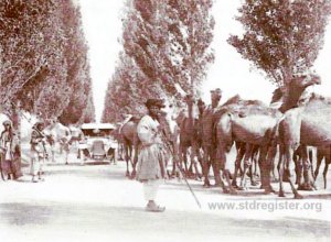
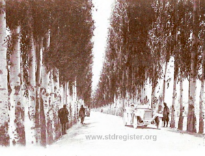
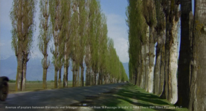
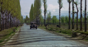
The 132 miles of road from Kohala to Srinagar took ten years to build (1880 to 1890) and it was a costly undertaking in both lives and money. It is now one of the finest mountain roads in the world, and its effects on trade have been felt, not only in Kashmir itself, but in the far-away bazaars of Yarkand and Central Asia. For the benefit of any one undertaking the trip I may state that petrol is at present unobtainable in Murree or Kashmir, and the motorist would do well to send his supplies up from Rawalpindi by ekka. ”
Beyond Srinagar:
~~~~~~~~~~~~~~~
~ End of part 1 ~
~~~~~~~~~~~~~~~
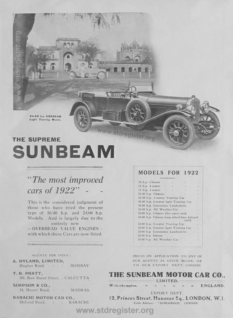
“The most improved cars of 1922” The photograph above shows a Sunbeam 24/60 Light Touring Model in front of the palace in Kapurthala, India, a small, but very well run, native princely state within Punjab Province. The 16hp Sunbeam which is the subject of this article may be seen in the background.
Sunbeam cars were highly prized among both British and Indian car owners and this is a rare advert promoting the agents for India in Bombay, Calcutta, Madras and Karachi.
Please will any reader in India or Pakistan who has information about a Sunbeam car, or knowledge of the whereabouts of any Sunbeam car, kindly get in touch by using our Contact form.
Thank you. – Colin Weyer
Post script
Rawalpindi’s population has grown from about 100 000 in 1921 to about 3½ million today and 4½ million if the adjoining, post WWII, capital of Islamabad is included.
The population of Srinagar has increased from about 140 000 in 1921 to about 1.3 million today.
Murree continues to be a popular hill resort to escape the heat of the plains and the population of its, somewhat confined, hill-top location has grown from c 10 000 to about 25 000.
Notably, the still surviving route to Murree has now been by-passed by a modern 4-lane highway. As this new road runs along a valley often as much as 2 miles to the south-east, and with a ridge of hills elevated by some 1000 to 2000 feet in between, the old road is spared much of the modern traffic and noise.
The author refers to the original Kohala bridge over the Jehlum River being washed away in the great flood of 1893. It is interesting to note that the 1899 replacement steel girder bridge which he used in 1921 was in turn washed away by the flood of 1990. For those with a longer memory, or access to history, it is clear that, despite frequent scare stories, recent floods are in fact nothing new. See, e.g. p205 onwards in Sir Walter Lawrence’s remarkable 1895 book The Valley of Kashmir and numerous other examples worldwide.
Clearly the black & white pictures shown are now over 100 years old. However, Murree was just one of a fair number of hill stations set in the cooler Himalayan foothills which were chosen in the days before air-conditioning. The old Indian summer capital of Simla was the most significant but there were others and one such, which I have had the good fortune to visit, is Ranikhet which lies at over 6000 feet not far from the border of Nepal. For those readers, maybe not all of course, who may wish to visualize the country through which the Sunbeam travelled, I would suggest that you might visit a page on my own website where the colour photos offer an insight as to how the country around Murree would look in colour. See: Journey to Ranikhet.
.
Glossary of some of the native words and place names used in the booklet.
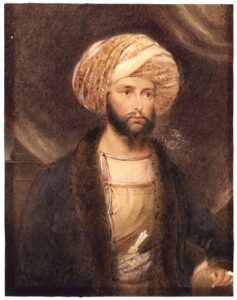
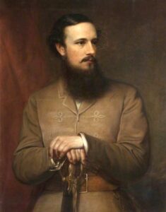
Abad – means city or town of … eg Muzaffarabad (founded in 1646 by Sultan Muzaffar Khan) and Abbottabad which is interesting in that it is named after its founder, Maj. – later Gen. Sir James Abbott the district commissioner who was revered among the local people such that, even recently, they resisted an attempt to rename the city. Similarly, his contemporary, Brig. Gen. John Nicholson imposed law and order on the North-West Frontier and, though occasionally ruthless, his reputation for honour and impartiality earned him the deep respect and veneration of the local people. In this case he was worshipped by whole communities as a deity known as “Nikalseyn” and, quite remarkably, the last such adherent died in Abbottabad only as recently as 2004!
Baboo – a native clerk who writes English.
Dak Bungalow – a rest house; set up along main roads with a few rooms to accommodate visiting officials who are on a journey. From dak meaning post as first used by postal officials.
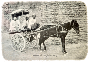
Ekka – a small two wheel native cart pulled by a single horse or donkey. So named after the Hindustani word for one, ie: ek.
Gali – a narrow gully, alley or path as in Ghora Gali meaning “Horse Alley or Path” or Jhika Gali meaning “Goat’s Pass”.
Marg – an alpine type of meadow. eg Tangmarg means “Pear Meadow” on account of the profusion of fruit trees and nearby Gulmarg means “Flower Meadow”..
Rupee = c 1s 6d (or 7½ new UK pence) divided into 16 annas which turn was divided into 12 pies. One anna = approx 1d. (as in early 1920s)
Tonga – A two wheel cart usually pulled by one horse, somewhat akin to a taxi, with space for a driver and two passengers back to back: one facing forwards and the other to the rear.
The Sunbeam car which toured India as above was a 1919 3-litre Armistice model tourer similar to that shown below.
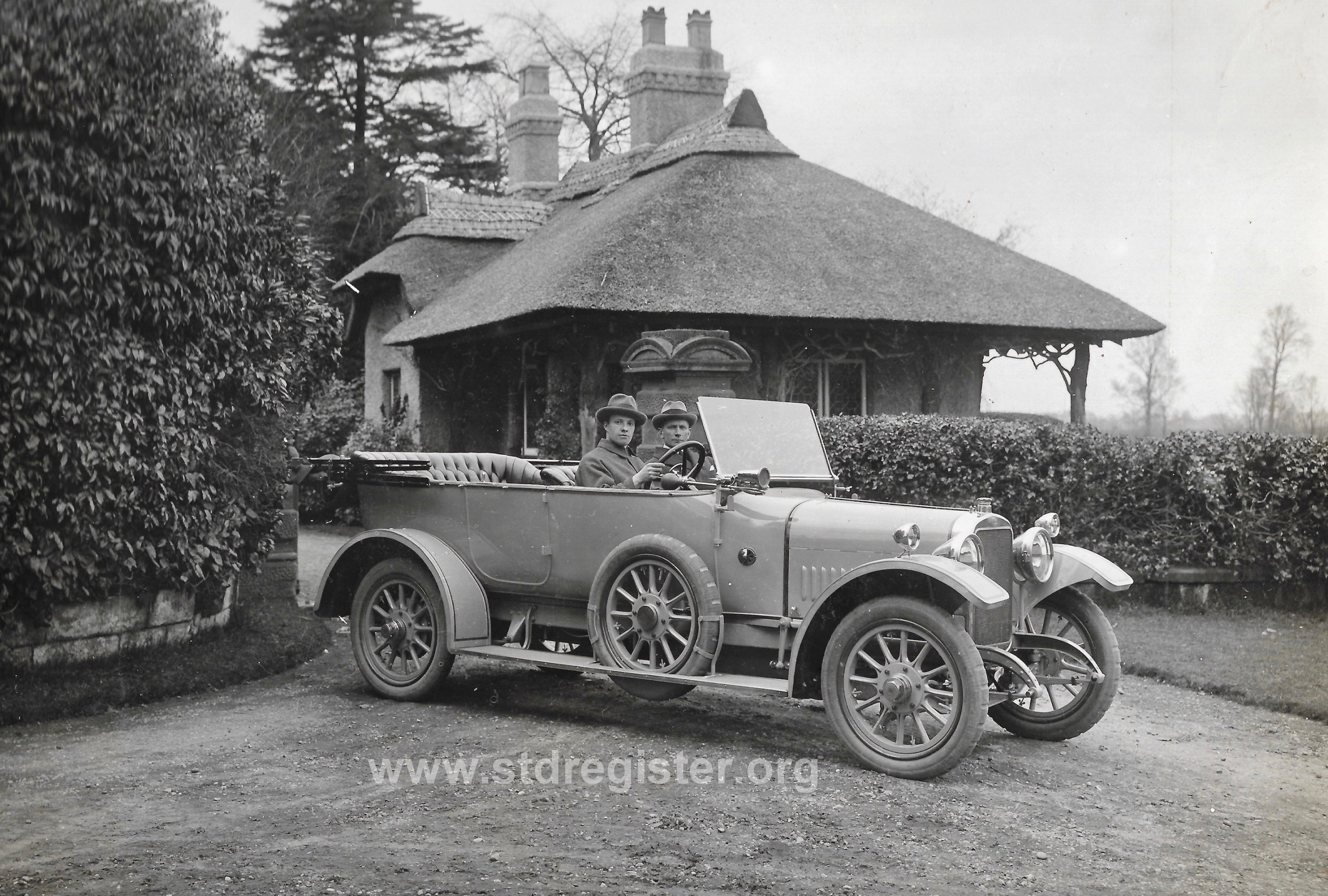
This car had a 3.0-litre 4 cylinder side valve engine driving a separate four-speed gearbox via a cone clutch and on a clear stretch of road it could be driven at c 50mph. Braking was provided by a rear-wheels-only handbrake and a transmission foot brake. Standard equipment included electric starting and lighting which was only just becoming a normal feature on post WWI cars. The cost new was £790 which would be over £50 000 in the money of today.
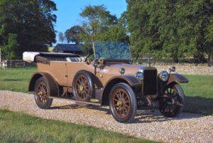
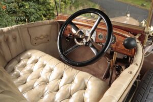
More information and photos can be found here on this rare surviving model sold by Bonhams in 2013
Colin Weyer